Historic Maps
Below are digital versions of just a few of the many maps in our archives. All the maps in our collection may be viewed during research hours.
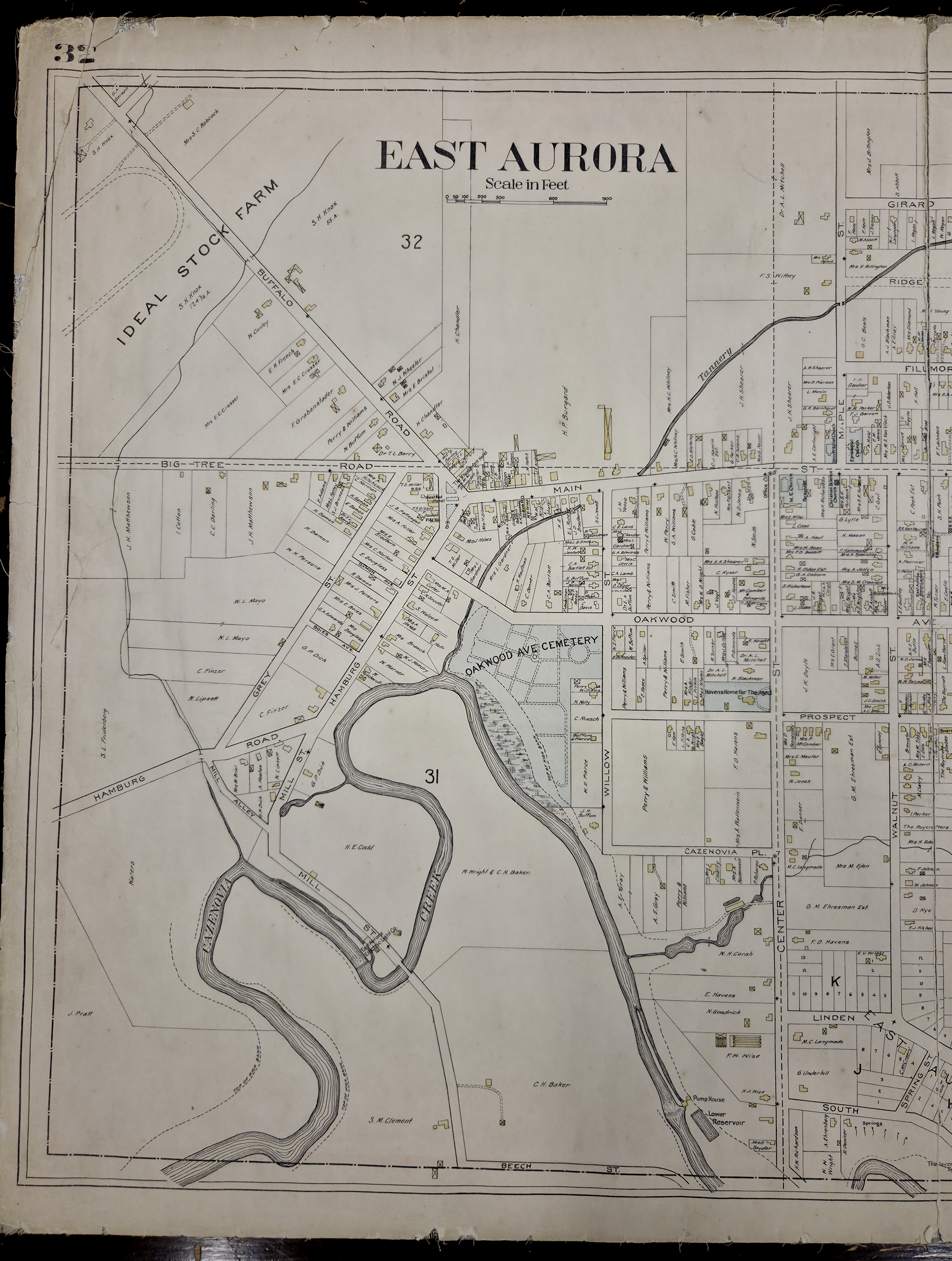
1909 Map
1909 map of the Village of East Aurora, including property owners.
From the New Century Atlas of Erie County, New York, published by the Century Map Company.
CLICK HERE for the WESTERN SIDE of the Village of East Aurora
CLICK HERE for the EASTERN SIDE of the Village of East Aurora
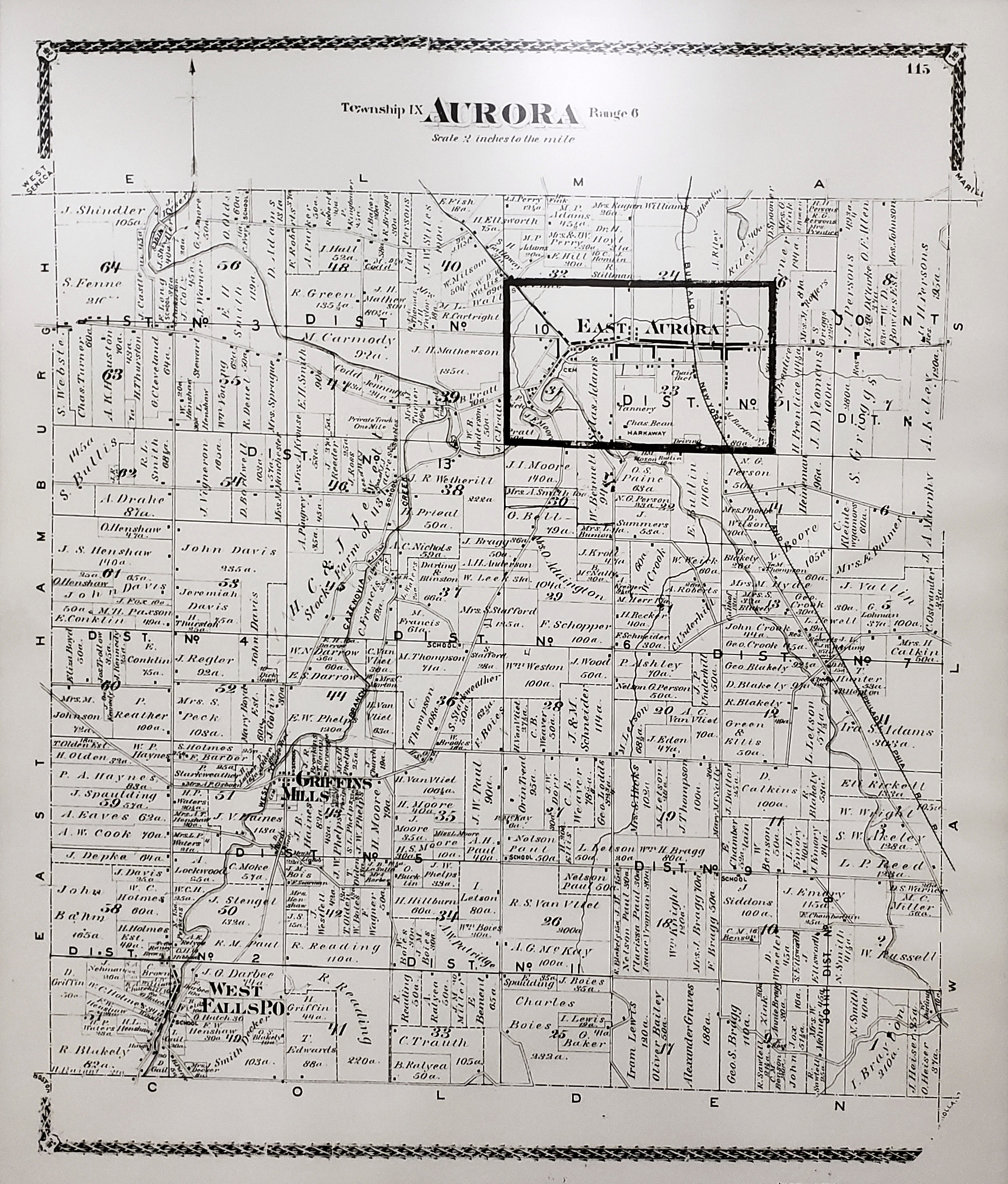
1880 Map
We recently received a request for a digital scan of the 1880 map of the Town of Aurora that hangs on the wall outside the Historian's Office at the Municipal Center. The map, from the Illustrated Historical Atlas of Erie County, New-York, 1880, published by F.W. Beers & Co., may be seen in person by visiting the Municipal Center at 575 Oakwood Avenue during regular Municipal Center hours, 8:30 a.m.-4:30 p.m., Monday through Friday.
CLICK HERE FOR THE 1880 MAP
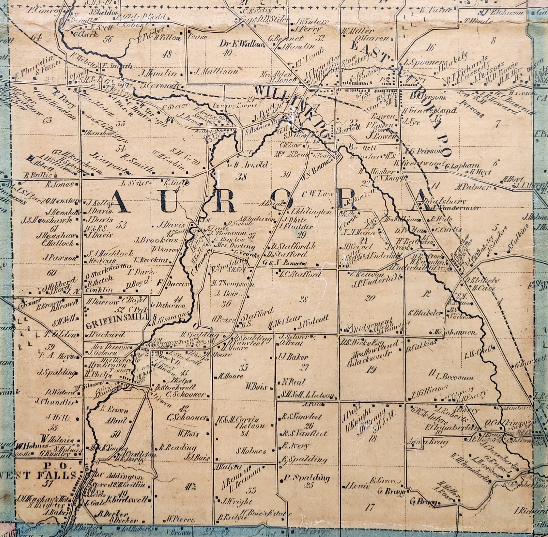
1855 Map
We recently received requests for a scan of the Town of Aurora portion of an 1855 map of Erie County that hangs on the wall of the Historian's Office at the Municipal Center. The five- by five-foot tall map may be seen in person by visiting the Historian's Office at 575 Oakwood Avenue any time the Historian's Office is open for research, Wednesdays and Thursdays, 1-4 p.m.
CLICK HERE FOR THE 1855 MAP